48 acres in the friendly countryside community of Bon Secours, Saint Paul New Brunswick. A great neighbourhood with nice homes, farms, woodland and easy access via a network of maintained paved roads and highways. --- Sorry this property is SOLD ---
Lot Size:
48 acres
Location:
Bon Secours Road, Bon Secours, Saint Paul, Kent County, New Brunswick
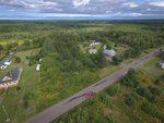
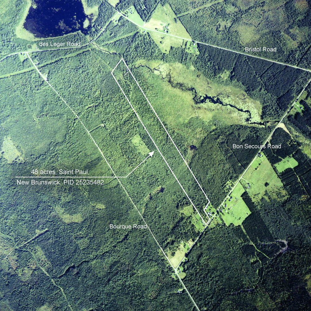
Drone photo outlining the 48 acres in Bon Secours, New Brunswick.
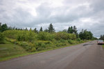
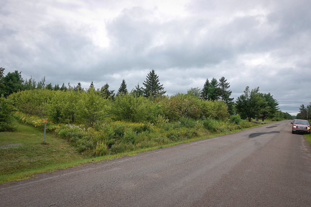
Here is the 48 acres from road side (Bon Secours Road) with 175 feet frontage. Electricity and phone service available.
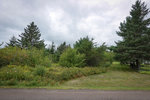
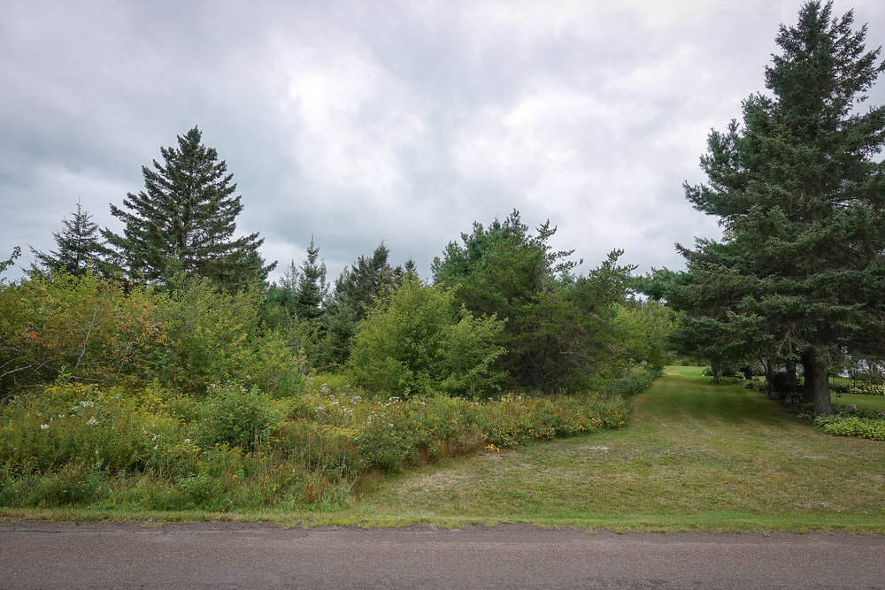
Looking up along the easterly property boundary from roadside. The ground is nice and level and a clearing on the land can be created quite easily.
Picture taken on the property near roadside.
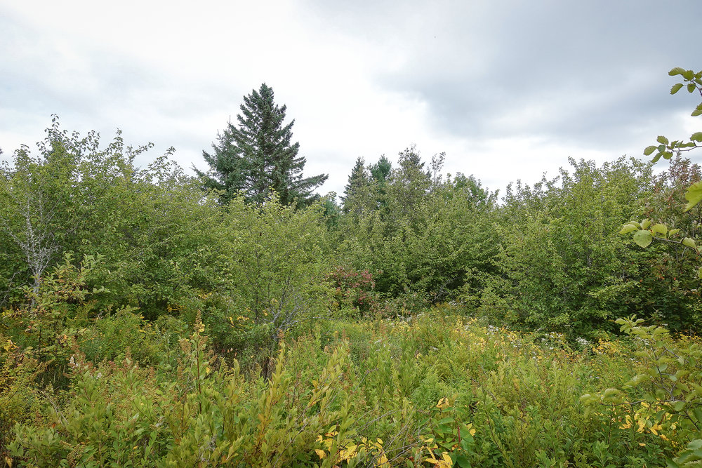
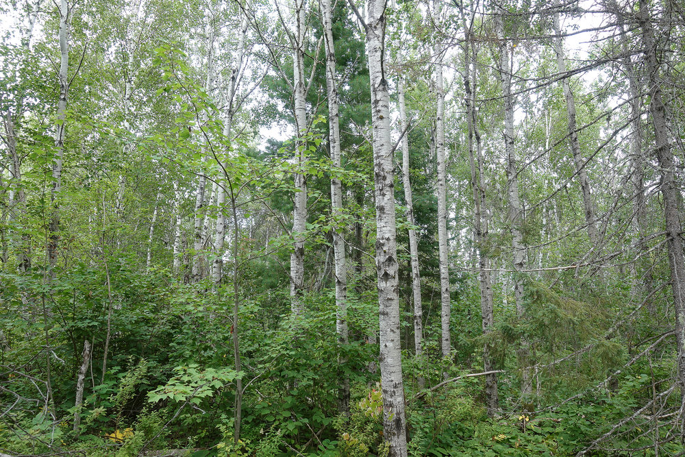
This picture was taken on the property roughly 400-500 feet in from the road.
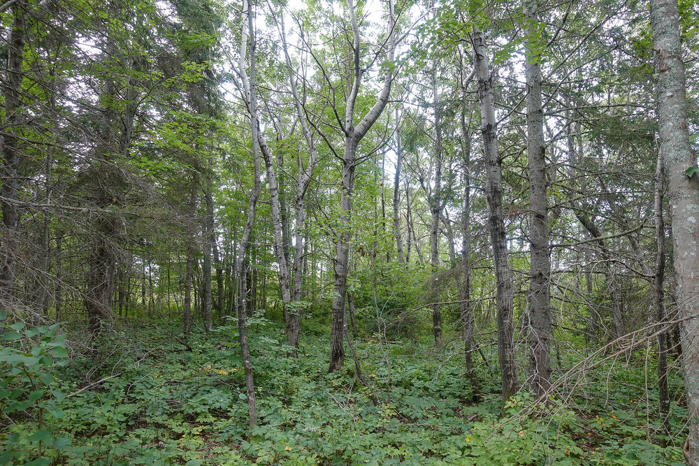
Another picture taken on the property.
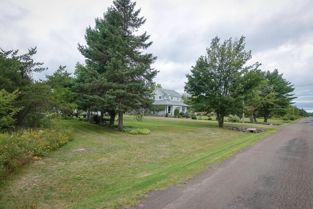
This is the neighboring property to the east.
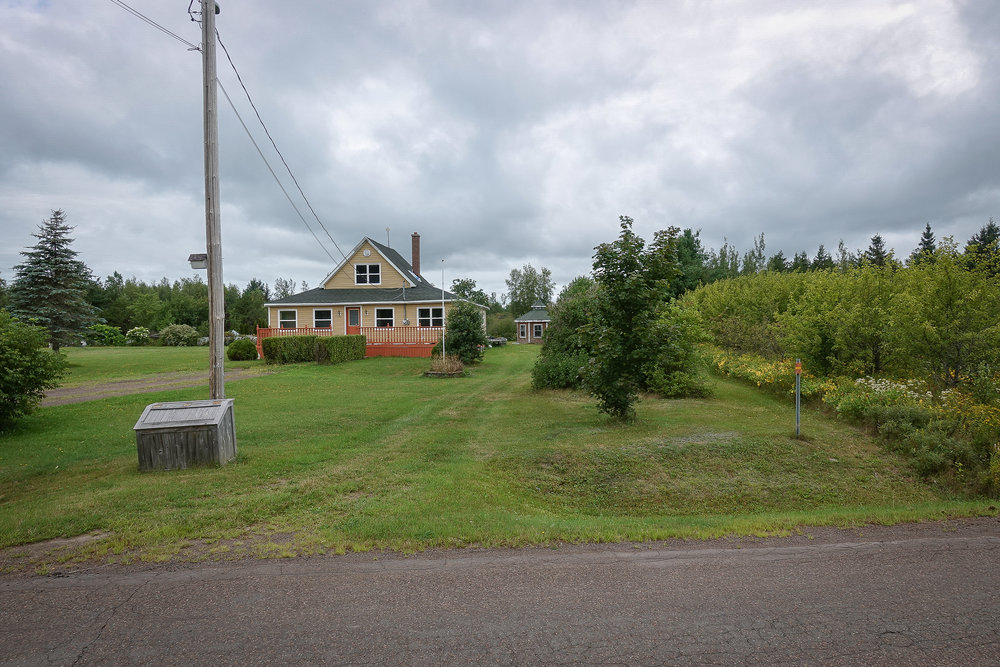
This is the neighboring property to the west. The tree line is approximately the property line. A survey shows that it follows an old fence line.
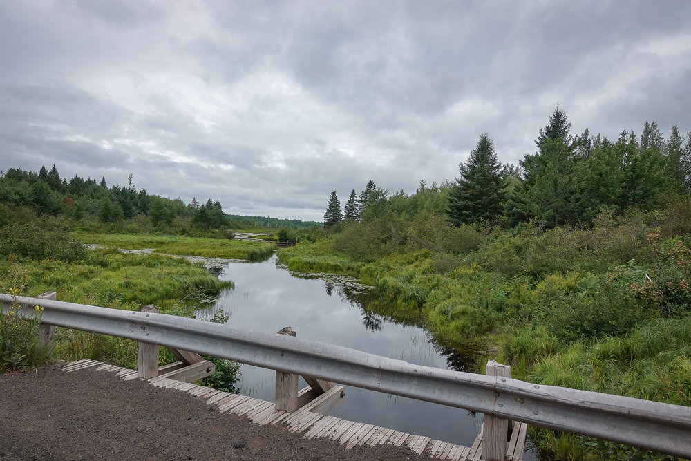
This is Luke Brook just up the road from your land.
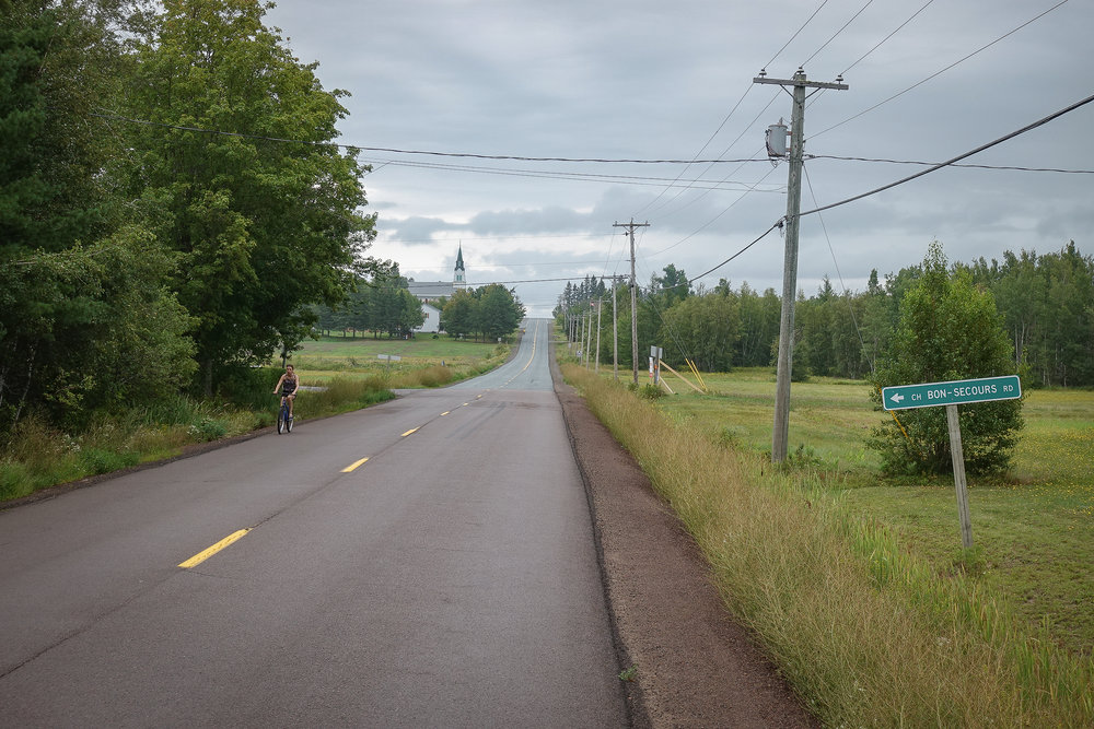
Bon Secours Road to your property from Saint Paul and Route 515.
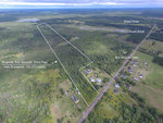
An air photo outlining your property in Bon Secours, New Brunswick.
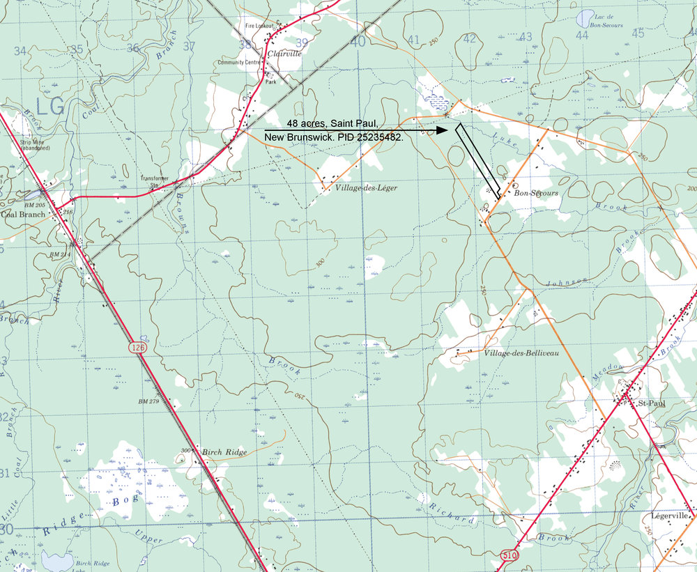
Topographic map showing the location of your acreage. The land lies at approximately 200 feet above sea level. Mapping shows that tributaries of Luke Brook cross through the property.
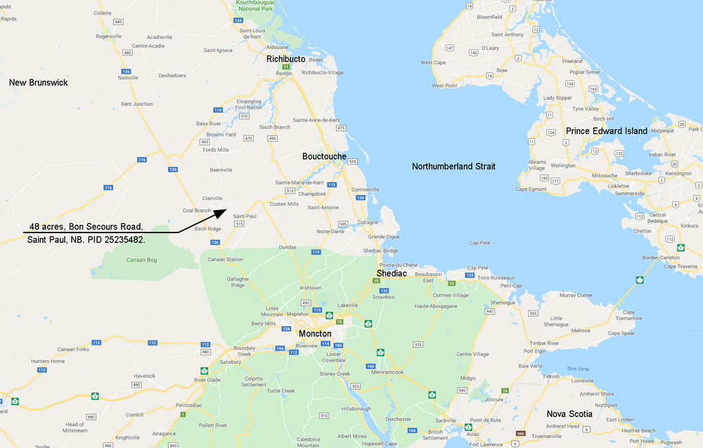
A map showing the location of your land north of Moncton. Ideally located in rural New Brunswick yet still an easy drive to the city and coast.
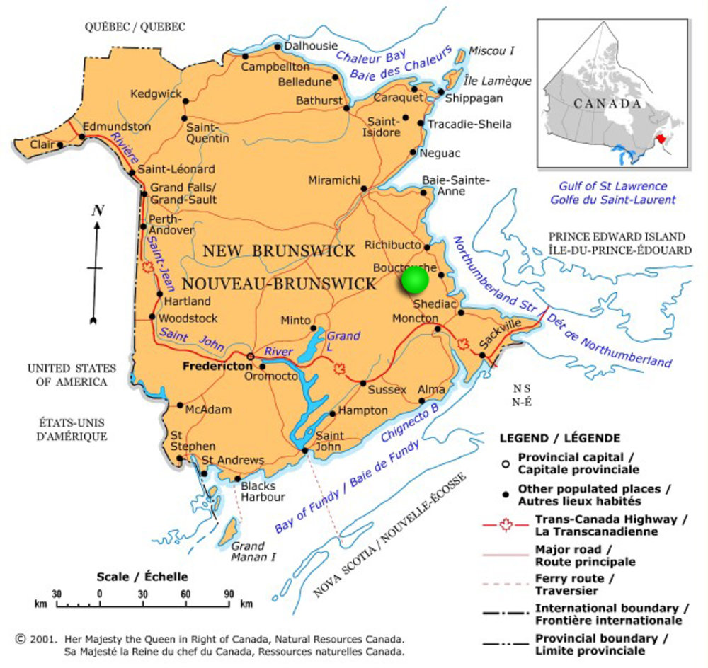
A map showing the location of the property in the Province of New Brunswick (green dot).
That parcel located at Bon Secours, Saint Paul, in the Parish of Saint Paul, in the County of Kent and Province of New Brunswick, CANADA. Property ID (PID) 25235482.
SIZE: 48 acres = 19.4 hectares
*** contact us directly for more information ***
Sorry this property is SOLD. To view available lots and acreage in New Brunswick, click HERE.
Drone photo outlining the 48 acres in Bon Secours, New Brunswick.
Here is the 48 acres from road side (Bon Secours Road) with 175 feet frontage. Electricity and phone service available.
Looking up along the easterly property boundary from roadside. The ground is nice and level and a clearing on the land can be created quite easily.
Picture taken on the property near roadside.
This picture was taken on the property roughly 400-500 feet in from the road.
Another picture taken on the property.
This is the neighboring property to the east.
This is the neighboring property to the west. The tree line is approximately the property line. A survey shows that it follows an old fence line.
This is Luke Brook just up the road from your land.
Bon Secours Road to your property from Saint Paul and Route 515.
An air photo outlining your property in Bon Secours, New Brunswick.
Topographic map showing the location of your acreage. The land lies at approximately 200 feet above sea level. Mapping shows that tributaries of Luke Brook cross through the property.
A map showing the location of your land north of Moncton. Ideally located in rural New Brunswick yet still an easy drive to the city and coast.
A map showing the location of the property in the Province of New Brunswick (green dot).
Wolter Land Estates
449 Farris Road
Kelowna, British Columbia
V1W 1N1
"Right now and into the next decade, the boomers are likely to make cottage country hot, forcing prices higher and creating some interesting investment opportunities" - Halifax Herald